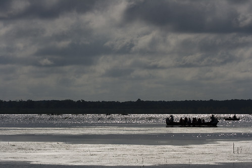
Visitors were invited to experience the lake in a Voyageur Canoe. The short tour included stops on the lake to view two different science demonstrations.
Satellite activities included a hayrack ride to the UIS Field Station for facility tours and science demonstrations at the UIS Emiquon Field Station, bird identification with Maurie Brucker using his spotting scope, and an exhibit at Dickson Mounds Museum on bird migration.
Partners for this event included: Dickson Mounds Museum, Emiquon Audubon Society, Illinois Environmental Protection Agency, Illinois Department of Natural Resources, Illinois Natural History Survey, The Nature Conservancy, US Fish and Wildlife Service, the University of Illinois at Emiquon Field Station, and the University of Illinois at Springfield. The Emiquon Corps of Discovery, which works with the partners to document the transformation at Emiquon, also had a display.
[More photos to come]
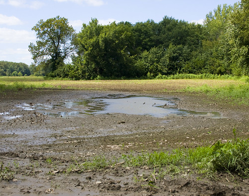
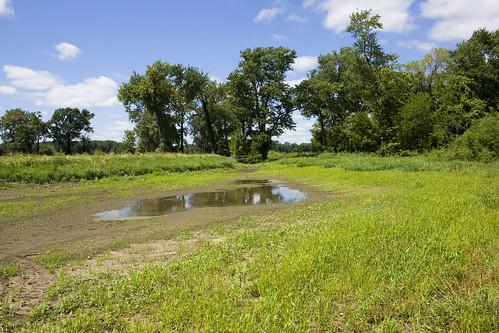
After the event, Ed and I drove to Havana for lunch at the Chuck Wagon. Then we went back to Emiquon to look for particular habitats: mudflats (not much of that this year!), bottom-land forest (on the edges, but replanted in other places for the future), wet prairies, and wetlands. No problem with the last two categories, but the first two were challenging.
I found these mudflats off Forgotten Road, on private property bordering the Emiquon National Wildlife Refuge. No birds at either site, and vegetation encroaching rapidly.
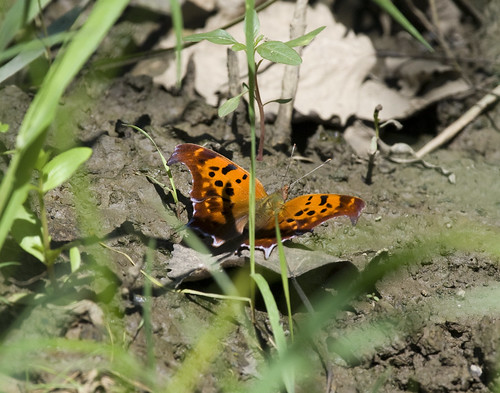
Butterflies were hanging out on the mud. Here's a Comma Butterfly hiding behind some grass:
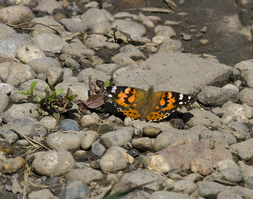
Painted Lady:
Cabbage White Butterflies:

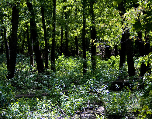
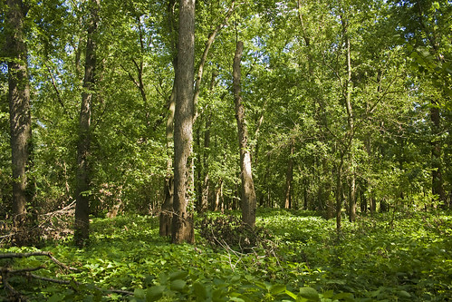
I found bottom-land forests off of the Frank C. Bellrose Nature Trail at the Emiquon National Wildlife Refuge.
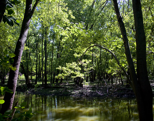
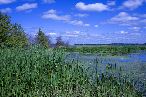
Wetland photos were easy to find. I pulled off at the first pull off north of the levee for these photos.
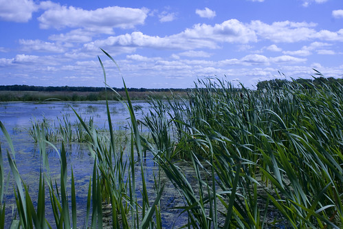
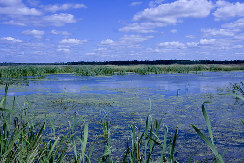
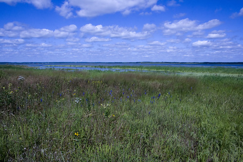
Much of the area where wet-prairie plants were planted last year are under water this year. Unplanted areas remain and are very wet!