Wednesday, August 18, 2010

Northern Perspective at Emiquon

Emiquon is a myriad of habitats with diverse populations of flora and fauna as shown in landscapes taken on a walk along the North Levee.
EmiquonNorthLeveeGeese08212010JGWard_MG_9233

A Northern Harrier flew low over the prairie, far out near the lake. The tell-tale white rump shows even at that distance.
NorthernHarrierEmiquonNorthLevee08182010JGWard_MG_9261

Monarchs were some of many butterflies I encountered on the walk, most of which would flutter away, far out of reach of my camera lens.
MonarchButterflyEmiquonNorthLevee08182010JGWard_MG_9250

MonarchButterfliesCupFlowersEmiquonNorthLevee08182010JGWard_MG_9529

Many little birds disappeared in the prairie as I approached, but this Song Sparrow stopped briefly before disappearing with the others.
SongSparrow08312010JGWard_MG_0996

Sometime during the summer, TNC mowed rows in one section of the prairie. It is filling in now, but you can still see the rows.
EmiquonNorthLeveeRows08182010JGWard_MG_9267

Since TNC began pumping water out of Thompson Lake, mudflats have been exposed around the edges of the water. On this side of the lake they are quite extensive. Many shore birds, wading birds, and waterfowl were taking advantage of the shallow water and mudflats. The birds were way too far away to photograph, but the colors of the exposed mud against the water and the green of the wet prairie are striking.
EmiquonMudFlatsNorthLevee08182010JGWard_MG_9291

Tuesday, August 17, 2010

Rice Lake: Letting the Water Out

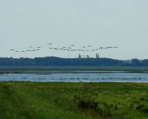
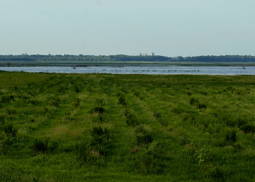
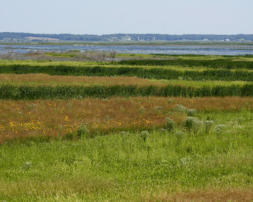
As one of many people who have enjoyed the Rice Lake State Conservation Area for many years, I have watched the high water remain in the area for the past three years. My friend, Joyce, and I have been concerned about the water's effect on the trees, as well as the lack of habitat for wading and shore birds. On August 17, Bill Douglass, the site manager, and Bill Kapitko, his associate, took us out for a tour of the area to see the water being released into the river.

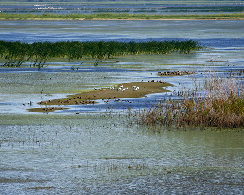
They took us out on the lake and showed us the Narrows Dam, which was open. Water from Rice Lake flowed into Big Lake through the openings. At this time, Rice Lake was almost level with Big Lake.
RiceLakeNarrowsDamOpen08172010JGWard_MG_9102

STOPLOGSTRUCTUREBigLake08172010JGWard_MG_9112

RiceLake08172010JGWard_MG_9094

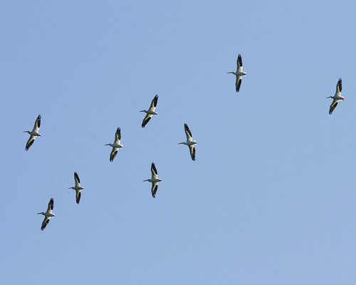
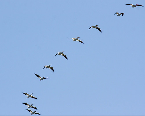
Asian Carp flew up out of the water and into the boat as we crossed the lake.
RiceLakeCarpBillDouglassBillTopinkoJoyceBlumenshine08172010JGWard_MG_9134

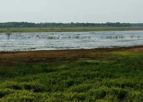
We rode down the channel that leads from Rice Lake to the pump house.
RiceLakePumphouseChannel08172010JGWard_MG_9123

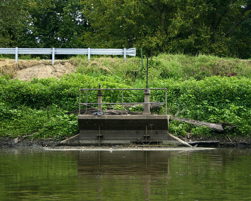
The valves on the gatewell structure keeping water in the channel had been opened. One valve would only partially open, but the other valve was completely open, allowing water to flow into the creek from the Rice Lake.
GatewellStructureRiceLakePumpHouseChannel08172010JGWard_MG_9129

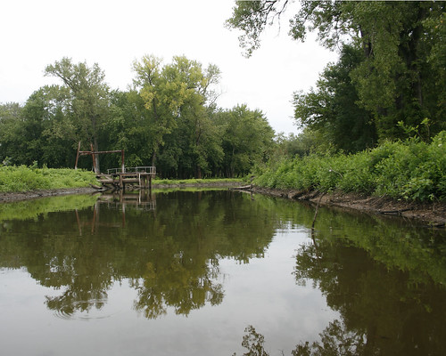
After the ride on the lake, we followed them to Copperas Landing to go out on the river. We stopped by the pump house on our way to the landing.

Bill Douglass stopped on the bridge over Copperas Creek that leads to the pump house. He explained how under normal river levels, the IDNR lets water out of the compound in the early summer, when the river goes down. Then they pump water back into the area in the fall in preparation for waterfowl hunting.
RiceLakePumphouseBridgeBillDouglass08172010JGWard_MG_9139

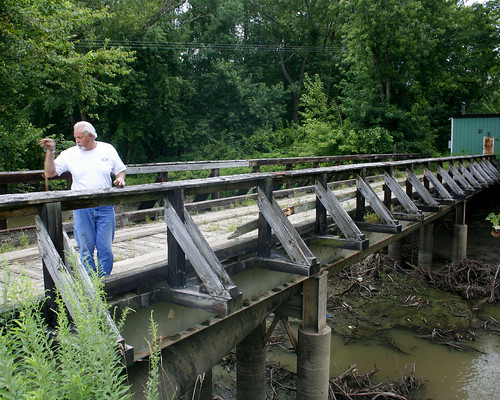
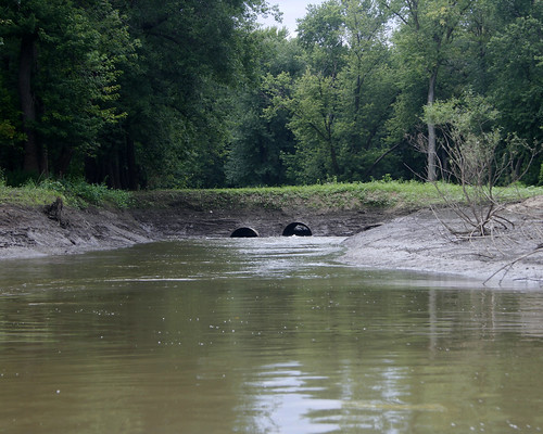
The large tubes under the bridge bring water into the channel when the pumps are working.
RiceLakePumphouseBridgeCopperasCreek08172010JGWard_MG_9138

The pumps bring water from this channel, which is privately owned and which has many siltation problems.
ChannnetToPumpHouseRiceLake09172010JGWard_MG_9144

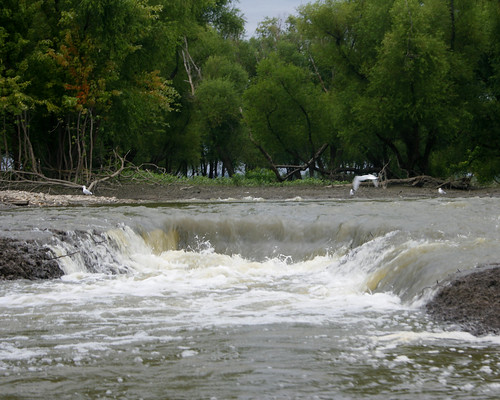
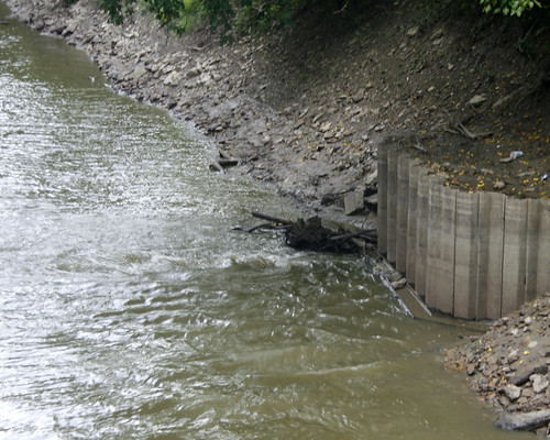
The valves of the gatewell structure were open, and the water from the channel flowed into the creek. This is the first time in several years that water has been released from the compound.
RiceLakeWaterEgressValves08172010JGWard_MG_9137

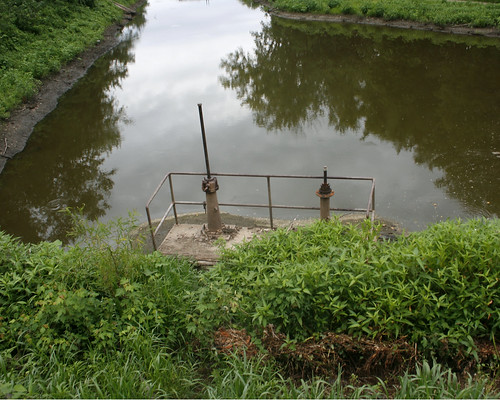
Looking down Copperas Creek from the bridge, we could see the water bubbling up as it flowed through the structure.
CopperasCreekRiceLakeEgress08172010JGWard_MG_9140

RiceLakeWaterEgressCopperasCreek08172010JGWard_MG_9141

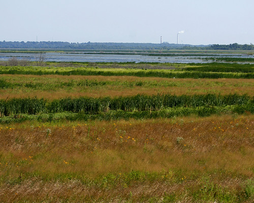
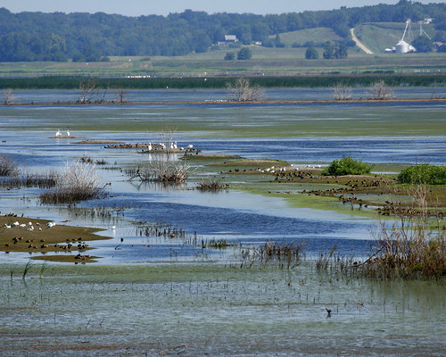
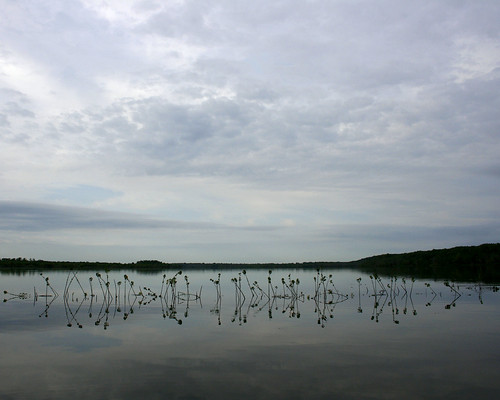
We stopped at the Voorhees Unit, where water was flowing through the water control structure into a channel leading to the river.
VoorheesUnitWaterControlOpen08172010JGWardMG_9147

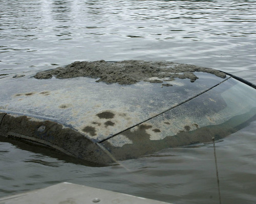
Bill took us out on the river to view the water leaving the area through other outlets. We hadn't gone far from the landing before we spotted an antennae sticking out of the water; it was attached to a submerged pickup truck. Bill called the local rescue team. They were still working on getting the truck from the river when we returned from our river ride. I never did find out what the story was with the truck.
SubmergedPickupTruckIllinoisRiver08172010JGWard_MG_9160

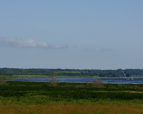
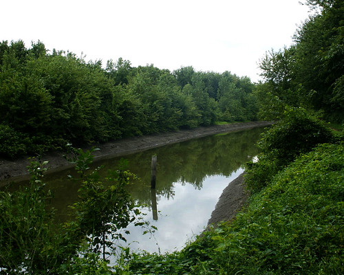
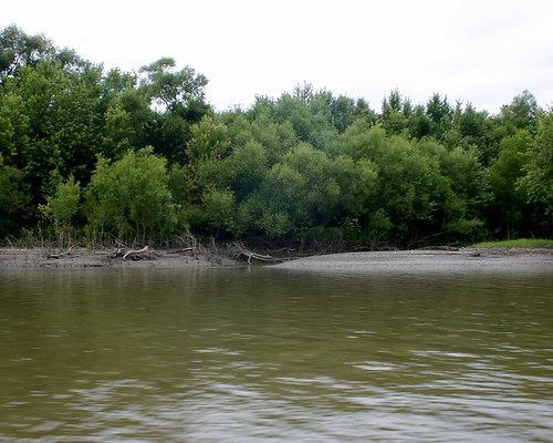
We passed the West River, the small stream separating Senate Island, which is privately owned, from the land surrounding Big Lake.
WestRiverSenateIslandIllinoisRiver08172010JGWard_MG_9172

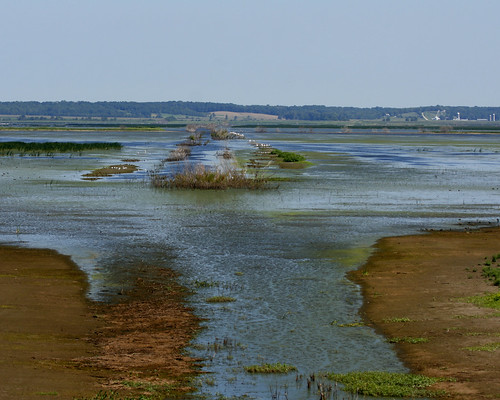
Bill stopped by the Stoplog structure, from which water flowed freely into the river.
StopLogStructureBigLake08172010JGWard_MG_9178

We ended the tour at the Woodyard Slough, were water flowed over the Hate Levee (so called because of the many fights between area gun clubs over water rights).
HateLeveeOverflowWoodyardSlough08172010JGWard_MG_9195

HateLeveeOverflowWoodyardSlough08172010JGWard_MG_9197

Sunday, August 15, 2010

Mudflats at Thompson Lake

In August the water began to go down as TNC continued to pump water from the lake. For the first time in a couple of years, mudflats were exposed along the edges of the lake.

I took a walk along the south end of the lake on August 15, 2010. The colors of Emiquon are constantly changing, and on this day, with prairie flowers in bloom and a deep blue sky reflecting off the lake, the colors were glorious.
EmiquonSouthLevee08152010JGWard_MG_8658

EmiquonSouthLevee08152010JGWard_MG_8659

EmiquonSouthLevee08152010JGWard_MG_8663

The deep greens of the cattails contrast with the bright yellow blooms speckled through the prairie and the blue of the sky and lake.
ColorsEmiquon08152010JGWard_MG_8666

I can see Sister Creeks Farm, 7 miles to the north of Emiquon, along Route 24.
EmiquonSouthLeveePelicans08152010JGWard_MG_8773

The receding lake left large expanses of mudflats in its wake.
EmiquonMudflatsSouthLevee08152010JGWard_MG_8972

Teal, Egrets, and Gulls hung out on a flat in the middle of the lake.
EmiquonTealGullsEgretsSouthLevee08152010JGWard_MG_8937

WaterfowlEmiquonSouthLevee08152010JGWard_MG_8850

WaterfowlEmiquonSouthLevee08152010JGWard_MG_8881

Pelicans flew overhead.
PelicansEmiquonSouthLevee08152010JGWard_MG_8672

PelicansEmiquonSouthLevee08152010JGWard_MG_8845

Shorebirds foraged along the edges of the mudflats.
ShorebirdsEmiquonSouthLevee08152010JGWard_MG_8784

Lesser or Greater Yellowlegs were among the shorebirds.
LesserYellowlegsEmiquon08152010JGWard_MG_8751

LesserYellowlegsEmiquonSouthLevee08152010JGWard_MG_8915