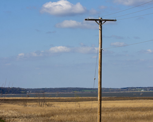
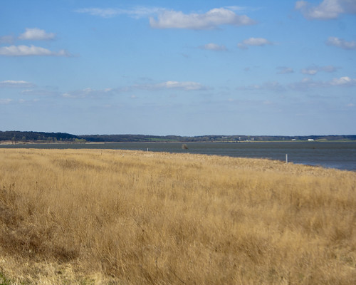
At the other end of the lake, one utility pole remains. The rest came down with the incredible movement of the frozen lake water in the winter of 2009-2010.
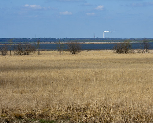
From the south levee, you can see all the way to the stacks of the Duck Creek power plant, 10 miles to the north.
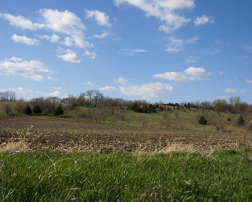
The grass at the wetland pull-off turned green seemingly over night.
Looking North, you can see the bluffs in the distance. What a wide river valley!
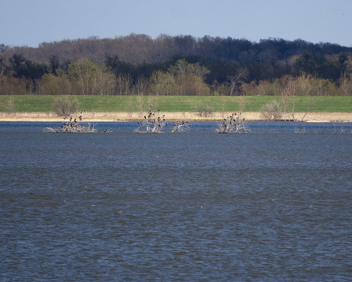
Cormorants hung out in the remaining trees sticking out of the water on the far side of the lake.
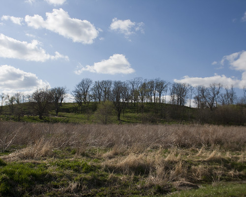
Heading along County 9 Road, the bluffs have a different appearance.
The Nature Conservancy burned the prairie next to TNC headquarters this spring. I arrived a couple of days after the burn, when all was black.
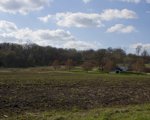
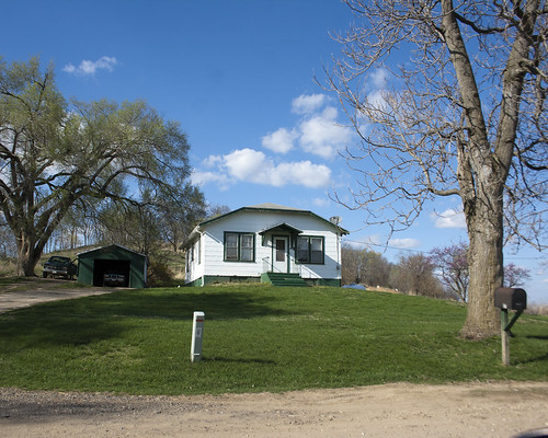
The caretaker's cottage really stands out against the brilliant blue sky, white clouds, and bright green grass on this April afternoon.
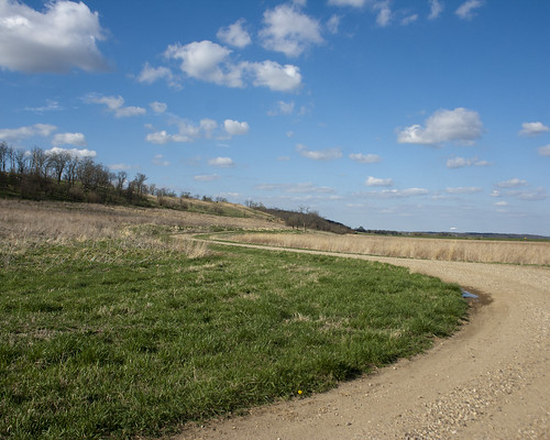
Prairie Road winds around between the bluffs and the prairie.
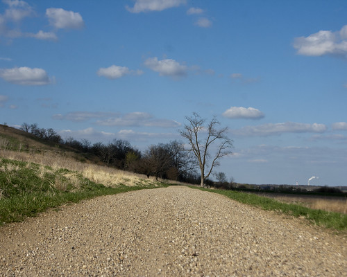
My favorite Hackberry tree also stands out against the blue sky filled with billowing clouds.
Looking back at the sun, which is beginning to set over the bluffs.
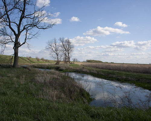
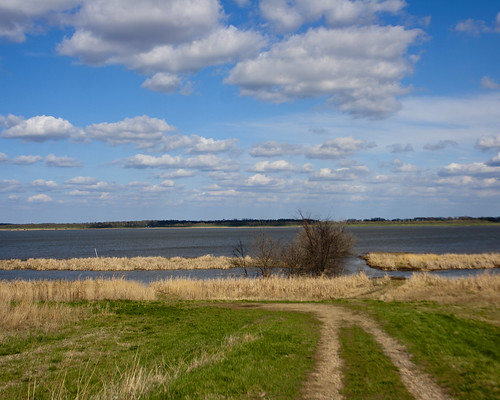
One last stop, at the Prairie Road wetland, before I head back up the bluff towards home.