Showing posts sorted by relevance for query copperas. Sort by date Show all posts

Tuesday, August 17, 2010

Rice Lake: Letting the Water Out

As one of many people who have enjoyed the Rice Lake State Conservation Area for many years, I have watched the high water remain in the area for the past three years. My friend, Joyce, and I have been concerned about the water's effect on the trees, as well as the lack of habitat for wading and shore birds. On August 17, Bill Douglass, the site manager, and Bill Kapitko, his associate, took us out for a tour of the area to see the water being released into the river.

They took us out on the lake and showed us the Narrows Dam, which was open. Water from Rice Lake flowed into Big Lake through the openings. At this time, Rice Lake was almost level with Big Lake.
RiceLakeNarrowsDamOpen08172010JGWard_MG_9102

STOPLOGSTRUCTUREBigLake08172010JGWard_MG_9112

RiceLake08172010JGWard_MG_9094

Asian Carp flew up out of the water and into the boat as we crossed the lake.
RiceLakeCarpBillDouglassBillTopinkoJoyceBlumenshine08172010JGWard_MG_9134

We rode down the channel that leads from Rice Lake to the pump house.
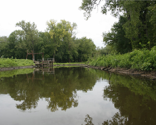
RiceLakePumphouseChannel08172010JGWard_MG_9123

The valves on the gatewell structure keeping water in the channel had been opened. One valve would only partially open, but the other valve was completely open, allowing water to flow into the creek from the Rice Lake.
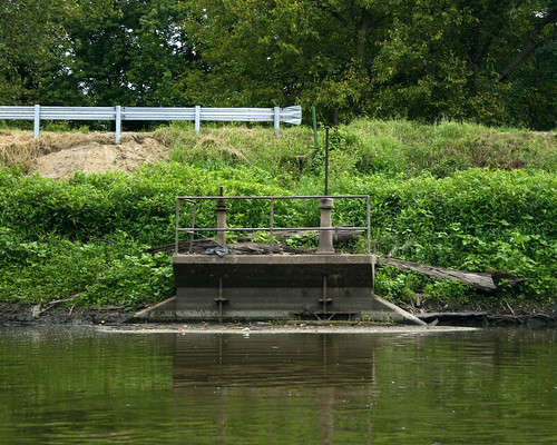
GatewellStructureRiceLakePumpHouseChannel08172010JGWard_MG_9129

After the ride on the lake, we followed them to Copperas Landing to go out on the river. We stopped by the pump house on our way to the landing.

Bill Douglass stopped on the bridge over Copperas Creek that leads to the pump house. He explained how under normal river levels, the IDNR lets water out of the compound in the early summer, when the river goes down. Then they pump water back into the area in the fall in preparation for waterfowl hunting.
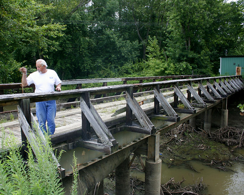
RiceLakePumphouseBridgeBillDouglass08172010JGWard_MG_9139

The large tubes under the bridge bring water into the channel when the pumps are working.
RiceLakePumphouseBridgeCopperasCreek08172010JGWard_MG_9138

The pumps bring water from this channel, which is privately owned and which has many siltation problems.
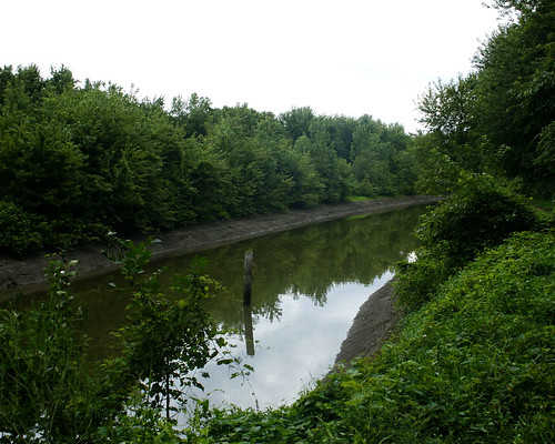
ChannnetToPumpHouseRiceLake09172010JGWard_MG_9144

The valves of the gatewell structure were open, and the water from the channel flowed into the creek. This is the first time in several years that water has been released from the compound.
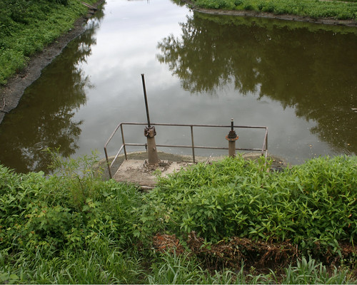
RiceLakeWaterEgressValves08172010JGWard_MG_9137

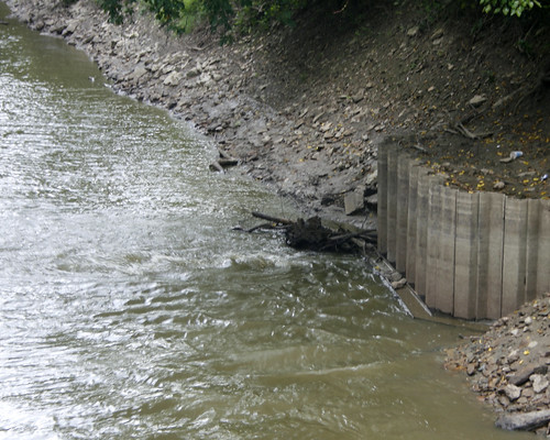
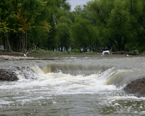
Looking down Copperas Creek from the bridge, we could see the water bubbling up as it flowed through the structure.
CopperasCreekRiceLakeEgress08172010JGWard_MG_9140

RiceLakeWaterEgressCopperasCreek08172010JGWard_MG_9141

We stopped at the Voorhees Unit, where water was flowing through the water control structure into a channel leading to the river.
VoorheesUnitWaterControlOpen08172010JGWardMG_9147

Bill took us out on the river to view the water leaving the area through other outlets. We hadn't gone far from the landing before we spotted an antennae sticking out of the water; it was attached to a submerged pickup truck. Bill called the local rescue team. They were still working on getting the truck from the river when we returned from our river ride. I never did find out what the story was with the truck.
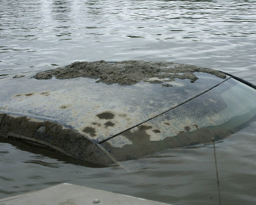
SubmergedPickupTruckIllinoisRiver08172010JGWard_MG_9160

We passed the West River, the small stream separating Senate Island, which is privately owned, from the land surrounding Big Lake.
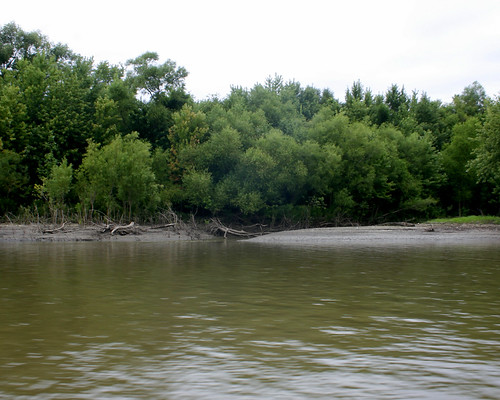
WestRiverSenateIslandIllinoisRiver08172010JGWard_MG_9172

Bill stopped by the Stoplog structure, from which water flowed freely into the river.
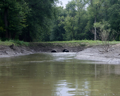
StopLogStructureBigLake08172010JGWard_MG_9178

We ended the tour at the Woodyard Slough, were water flowed over the Hate Levee (so called because of the many fights between area gun clubs over water rights).
HateLeveeOverflowWoodyardSlough08172010JGWard_MG_9195

HateLeveeOverflowWoodyardSlough08172010JGWard_MG_9197

Monday, November 13, 2006

Along the Slough from Copperas Creek to Rice Lake


Slough from Copperas Creek to Rice Lake. On Wednesday last week, November 8, the sun was shining and the air was clear. We drove down to Copperas Creek and walked along the dike to the north side of Rice Lake, along this slough. We had a great day birding, starting with the Bluebirds that were along both sides of the road as we got out of the car. For additional photos, visit my Picasa Web Album:

Tuesday, August 31, 2010

Rice Lake on the Rebound Two Weeks Later

Two weeks after the tour with Bill Douglas and Bill Kapitko, I returned to Rice Lake to see how it was doing without flood waters saturating the land.

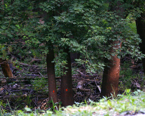
Someone has marked trees along the road leading to Copperas Landing, presumably to be removed.
MarkedTreesBannerDikeRoad08312010JGWard_MG_0899

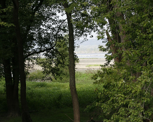
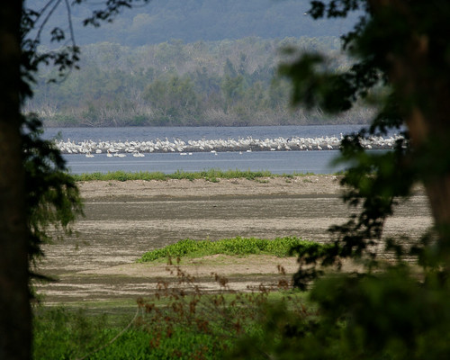
Green carpeted the floors where just 2 weeks ago water was standing. Farther out where mudflats were exposed, a flock of pelicans rested.
PelicansMudflatsBigLakeBannerDikeRoad08312010JGWard_MG_0904

PelicansBigLakeMudFlatsBannerDikeRd08312010JGWard_MG_0907

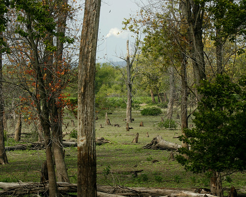
At the Voorhees Unit, green carpeted the bottomland forest floor. You can see by the high water line on the trees just how deep the water had been in this area for the past several years.
VorheesUnitRiceLakeBannerDikeRd08312010JGWard_MG_0918

BottomlandRiceLakeBannerDikeRd08312010JGWard_MG_0924

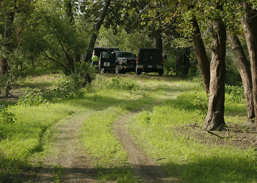
I wanted to take a photo of the field where Decurrent False Aster grew several years ago before the high water inundated the area. I parked at the entrance of the Copperas Creek Walk-in Unit. However, as soon as I rounded the bend, I saw an IDNR truck and realized I was blocking their way. As I walked back to my car, a black contractor's truck stopped. The driver told me I needed to move my car, which I was on my way to do. He said he and his team were surveying the area for the Army Corps of Engineers proposed project to revamp the area. I was intrigued. I parked my car well out of the way, and decided to walk out to the Narrows Dam, which I had visited by boat with Bill Douglas and Bill Kapitko just two weeks ago.

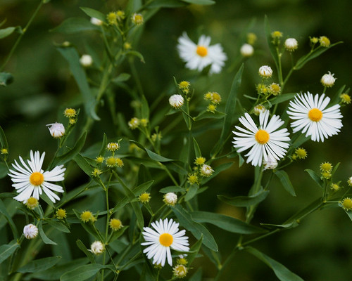
As I walked down the path from the road, I spotted a stray Decurrent False Aster. It is a state threatened species, and I am glad to find even a small sample of it after the years of high water the area has endured.
DecurrentFalsAstersRiceLakeCopperasCreekManagementUnit08312010_MG_0899

The water marks on the trees along the path to the Narrows Dam showed how high the water had been before it was released two weeks ago.
CopperasCreekManagementUnitWalkInRiceLakeBottomland08312010JGWard_MG_0953

The surveyors had parked their vehicles out on the levee leading to Slim Lake, where the Corps of Engineers plan to build a canal from a pumping station that they want to build to replace the existing pumps in returning water to the area in the fall.
SurveyorsCopperasManagementUnitRiceLake08312010_MG_0976

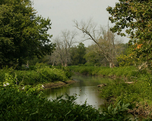
I continued walking out to the dam. The canal that I traveled by boat two weeks ago is just as beautiful from the levee road I was walking to the Narrows Dam.
RiceLakePumphouseChannel08312010JGWard_MG_0955

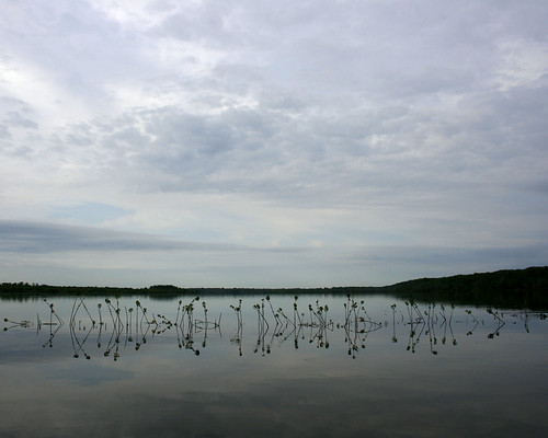
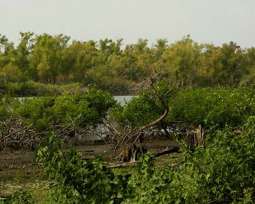
You can clearly see how high the water had been for so long by the lack of leaves on the lower half of the Button Bushes growing between the canal and the levee path.
RiceLakeMudFlats08312010JGWard_MG_0962

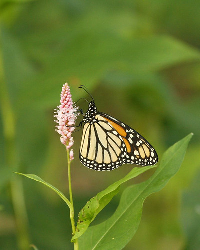
A Monarch butterfly posed for me on some blooming Smartweed.
MonarchButterflySmartweedRiceLakeCopperasCreekMgmntUnit08312010JGWard_MG_0975

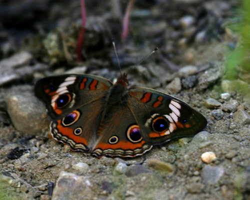
A Common Buckeye butterfly spread open his wings on the path.
BuckeyeButterflyRiceLakeCopperasCreekMgmntUnit08312010JGWard_MG_0978

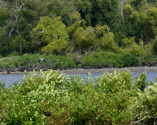
Large numbers of Great Blue Herons flew along the edge of Hoaxie Ridge. There were 12-15 herons in all.
HerronsMiserableIslandRiceLakeNarrowsDam08312010JGWard_MG_1021

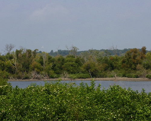
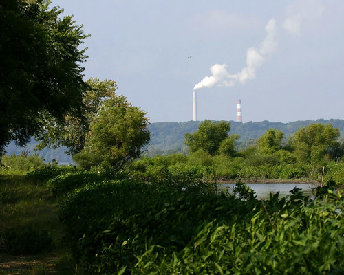
The path ends at the Narrows Dam. From there I could see former Peoria Mayor Bud Grieves's windmill and the chimney belching water vapor at Duck Creek power plant.
GreivesWindmillRiceLake10312010JGWard_MG_1002

DuckCreekPowerPlantRiceLake08312010JGWard_MG_1003

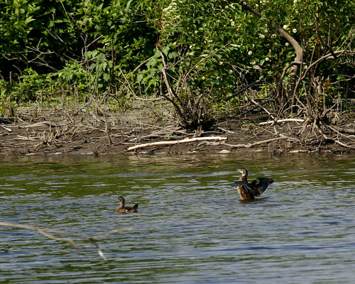
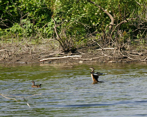
A family of Wood Ducks swam in the canal near the opening to Rice Lake.
WoodDucksRiceLake08312010JGWard_MG_1011

WoodDucksRiceLake08312010JGWard_MG_1012

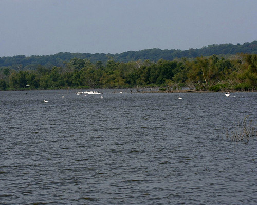
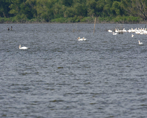
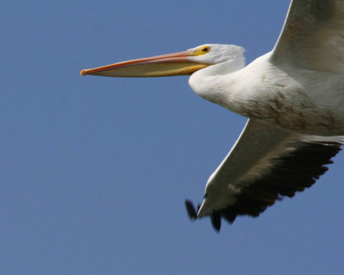
A flock of American White Pelicans were gathered far out on the lake.
PelicansRiceLake08312010JGWard_MG_1042

PelicansRiceLake08312010JGWard_MG_MG_1045

A few of them flew over my head, but it was hard to get a decent photo since I was using the mono-pod. It kind of went flying up in the air as I attempted to track the birds. It's a good thing no one was around to get wacked!
PelicansRiceLake08312010JGWard_MG_1052

PelicansRiceLake08312010JGWard_MG_1056

Wednesday, December 26, 2007

Juvenile Eagles Along Copperas Creek Road

Scott and I went out looking for eagles along the road leading to Copperas Landing and found five, four juveniles and one adult. At least 2 of the juveniles may have been first year eagles, with very dark feathers and bill.


Posted by Picasa

Of the five eagles we spotted, all but one were juveniles.


Posted by Picasa