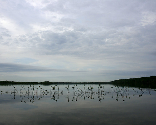
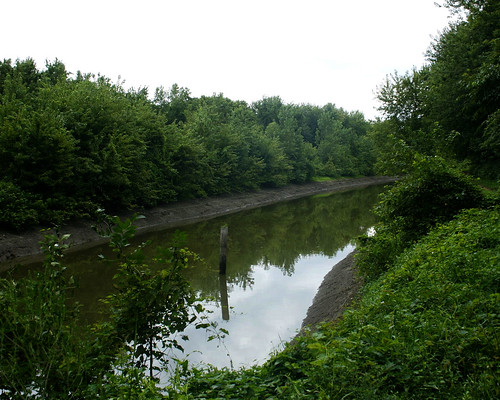
They took us out on the lake and showed us the Narrows Dam, which was open. Water from Rice Lake flowed into Big Lake through the openings. At this time, Rice Lake was almost level with Big Lake.


Asian Carp flew up out of the water and into the boat as we crossed the lake.

We rode down the channel that leads from Rice Lake to the pump house.
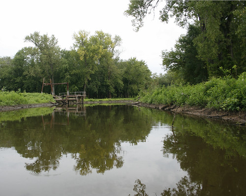
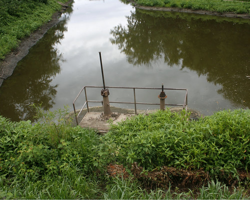
The valves on the gatewell structure keeping water in the channel had been opened. One valve would only partially open, but the other valve was completely open, allowing water to flow into the creek from the Rice Lake.
After the ride on the lake, we followed them to Copperas Landing to go out on the river. We stopped by the pump house on our way to the landing.
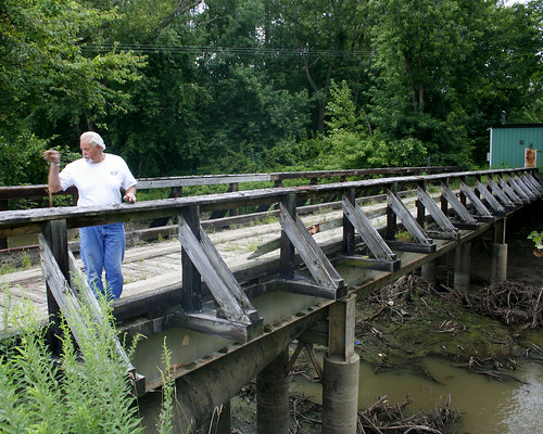
Bill Douglass stopped on the bridge over Copperas Creek that leads to the pump house. He explained how under normal river levels, the IDNR lets water out of the compound in the early summer, when the river goes down. Then they pump water back into the area in the fall in preparation for waterfowl hunting.
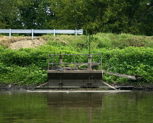
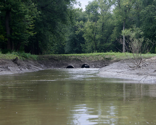
The large tubes under the bridge bring water into the channel when the pumps are working.

The pumps bring water from this channel, which is privately owned and which has many siltation problems.
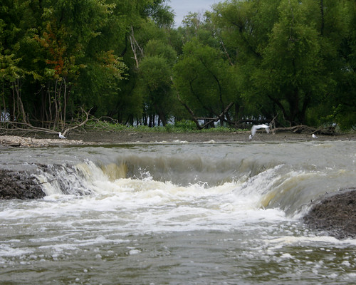
The valves of the gatewell structure were open, and the water from the channel flowed into the creek. This is the first time in several years that water has been released from the compound.
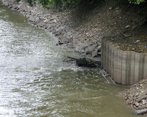
Looking down Copperas Creek from the bridge, we could see the water bubbling up as it flowed through the structure.

We stopped at the Voorhees Unit, where water was flowing through the water control structure into a channel leading to the river.

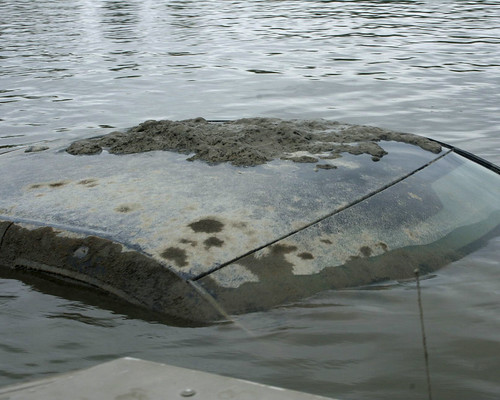
Bill took us out on the river to view the water leaving the area through other outlets. We hadn't gone far from the landing before we spotted an antennae sticking out of the water; it was attached to a submerged pickup truck. Bill called the local rescue team. They were still working on getting the truck from the river when we returned from our river ride. I never did find out what the story was with the truck.
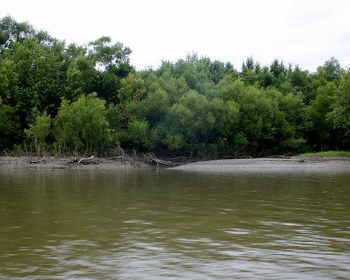
We passed the West River, the small stream separating Senate Island, which is privately owned, from the land surrounding Big Lake.
Bill stopped by the Stoplog structure, from which water flowed freely into the river.
We ended the tour at the Woodyard Slough, were water flowed over the Hate Levee (so called because of the many fights between area gun clubs over water rights).

2 comments:
Very interesting! Thanks for posting
Ed
Gosh, what a trip down memory lane. I bought a kayak this year and later this fall I plan to make a trip down to some of the areas photographed here.
I can remember when they built the "state" bridge on the Dike Road. For those that had to travel the road, there was a short little detour to the west that went down the side of the road and then back up. A muddy mess it was.
I'd really like to know what became of the submerged truck. From the photo it didn't look to be too old.
Thanks for taking the time to photograph this and the other areas you do.
E. Ellis
Post a Comment